
 Wishlist
Book Summary
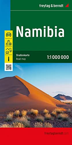
This Freytag & Berndt road map of Namibia at 1:1,000,000 scale is an essential navigational tool for self-drive travellers, offering detailed coverage of the country's vast road network, national parks, and key attractions. Its durable, foldable design and clear cartography make it ideal for planning routes and exploring off the beaten track, from the Namib Desert to Etosha National Park.
This book is not available
Store  |
Condition |
Deals & Coupons | Price |
Est. Shipping |
Total |
Buy |
|---|---|---|---|---|---|---|
| Sorry we could not find any result for “9783707921984” | ||||||
About Namibia, road map 1:1,000,000,...
The Freytag & Berndt Namibia road map at 1:1,000,000 scale is a comprehensive and reliable resource for anyone planning to explore this vast and diverse country by road. It provides detailed coverage of the entire nation, including major highways, secondary roads, and remote tracks, along with essential information such as distances, petrol stations, and points of interest. The map highlights key attractions like Etosha National Park, the Skeleton Coast, Sossusvlei, and the Fish River Canyon, making it an invaluable tool for itinerary planning and on-the-ground navigation. Its clear, legible cartography and durable construction are designed to withstand the rigours of travel. Whether you're a first-time visitor or a seasoned explorer, this map offers the clarity and detail needed to navigate Namibia's stunning landscapes confidently.
Who should read Namibia, road map 1:1,000,000,...?
This map is perfect for self-drive travellers, overlanders, and adventure seekers planning a road trip through Namibia. It suits both independent explorers and those on guided tours who want to understand the geography. It is also useful for cartography enthusiasts and anyone needing a reliable overview of Namibia's road infrastructure and national parks. Additionally, it serves as a valuable reference for trip planning and as a souvenir of a memorable journey.
Pros & Cons
Pros
- ✓ Detailed and accurate cartography at a practical 1:1,000,000 scale
- ✓ Covers the entire country, including remote areas and national parks
- ✓ Durable, foldable design suitable for outdoor use
- ✓ Includes useful information like distances, petrol stations, and points of interest
- ✓ Clear and easy to read, even for non-experts
Cons
- ✗ Scale may be too small for detailed local navigation in some areas
- ✗ Not as comprehensive as a guidebook for in-depth travel information
- ✗ Paper map can be damaged by water or rough handling
- ✗ May become outdated as road networks change
- ✗ Limited detail for urban areas and city streets
Similar books


Frequently asked questions
What is the scale of this map?
The map is at a scale of 1:1,000,000, meaning 1 centimetre on the map represents 10 kilometres on the ground.
Does it include national parks and attractions?
Yes, the map highlights major national parks such as Etosha, Sossusvlei, and the Skeleton Coast, along with other points of interest.
Is the map durable for outdoor use?
Yes, it is printed on durable, tear-resistant paper and is foldable, designed to withstand travel conditions.
Does it show petrol stations and distances?
Yes, the map includes information on petrol stations and distances between key points, which is essential for trip planning in Namibia.
Is this map suitable for self-drive tours?
Absolutely, it is specifically designed for self-drive travellers, providing detailed road information and coverage of remote areas.
At Windsorbooks, we compare prices from trusted sellers so you can buy, rent, or sell textbooks at the best total price — shipping included.
As an Amazon Associate, Windsorbooks.com may earn a small commission on qualifying purchases.